Creating accurate records of places that matter.

surveying
and mapping

Reveal hidden patterns and document sites from above. Our aerial mapping provides a non-invasive way to record and analyse landscapes.

archaeological
sites FIND OUT MORE

See clearly. Measure precisely. Act with confidence.

High-accuracy drone surveying and 3D modelling services that help you to capture, analyse and understand sites from an entirely new perspective.

historic
Buildings

“The landscape is best viewed from the height of a hovering kestrel.”

Using advanced aerial imaging and photogrammetry, we turn real-world environments into precise digital models. Our work supports conservation, research, planning, and surveying projects – offering clear visualisations and measurable insights.

Why choose Horizon.

The value isn’t just in the technology – it’s in how it’s used.

We help you to gain a deeper understanding of your site with data-driven insights from above.
Whether preserving the past or planning for the future – Horizon Aerial Insight helps you make informed
decisions with confidence.

Accurate, high-res 3D models

icon-2

Accurate, high-res 3D models

Accurate, high-res 3D models

Accurate, high-res 3D models

icon-5

Accurate, high-res 3D models

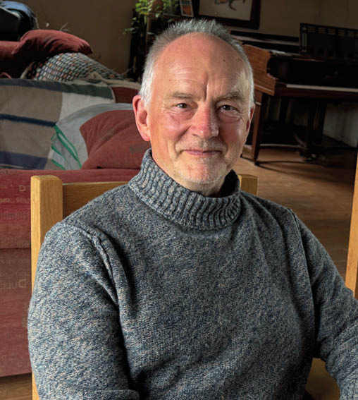
Nick Hall
Nick Hall –

Founder & Director
of Horizon
Aerial Insight.

Ready to see your project
from a new angle?

Contact us to discuss your requirements.